Day 15: mile 369.4 - 386 (plus ~five detour miles)
- Hazy views
- Endangered species
- Maps? What maps?!?
- New faces: Slow Down, Blazer
Sleeping in a queen-sized bed was awesome. I slept with the window open, and just piled on the covers as if got colder throughout the night. I could get used to this...
I still managed to get up with the sun, and while waiting for everyone else to start stirring I spent some time catching up on emails (gasp) and checking Facebook. I haven't been able to completely unplug yet.
Once S'more woke up and was functioning, our trail angel took us first to the post office, then to the trailhead. I had a resupply package waiting for me - the first one that my mom independently packed for me - and I think I have enough food to feed an army for the next few days. It's a bad combination - a mom wanting to make sure her kid has plenty of food and variety, and me being cheap and not wanting to throw any of it away or leave it in hiker boxes. So I stuffed all of it into my food bag, loaded up with 4L of water, and left town with a ~40lb pack. I figure it will help strengthen my legs. And I'll be damned if I am going hungry.
The miles were tough today. It could have been the heavier pack (which is always the case leaving town), the two hamburgers from the day before (which i did balance out with carrots, hummus, oranges, and apples), the late 10am start, or the elevation and terrain. The day started off with a steeeeeep (by PCT standards) ascent of the ~9,400' Mount Baden-Powell, then continued to meander along the crest of the San Gabriel's, overlooking what should have been LA, but instead just looked like smog and a marine layer?? I'm not sure my LA friends are digging that weather...

I think LA is out there. Somewhere...

Looking east from Mount Baden-Powell
Sixteen miles in I ran into another detour. The Mountain Yellow-Legged Frog calls this neck of the woods home, and is almost extinct. To help them out, a 7.5-mile section of the PCT is closed, with a 20.8 mile official detour. I love it when you get an extra dozen-plus miles added to the trip. The frogs would probably prefer to not be an endangered species requiring a special trail diversion, so I'm not sure any parties involved are thrilled with the situation.
Made it five miles into the detour before the feet said it was time to stop. As I was planning for tomorrow, realized I threw my paper maps away as I was leaving Wrightwood... Not only did I throw out the maps for the last hundred miles (which I meant to do), I also threw the maps out for the next hundred miles. My parents must be proud of me... I originally downloaded the digital versions as a backup, which are a pain in the ass to use. But they'll have to do until my next resupply point. Hopefully my phone battery doesn't die 😁

They just love reminding us how much further to go 😐

What is this?!?

Sometimes the little things your mom does make your day
Day 16: mile 394.1 - 404.2 (plus ~15 detour miles)
- Feels like home again
- "This water is not safe to drink"
- New faces: Fun Sized, Bear Bait, Shake 'n Bake, Travis, Lopsided, Obi-Wan
The wind freaking howled last night. By the time I was finally able to get some sleep, my alarm was going off, so I turned it off and fell back asleep. I think 6:30 might be the latest I have woken up on the trail. It felt glorious and terrible at the same time.

Rockin' it
The first fifteen miles of the day completed the endangered species detour. My (electronic) maps noted that this part of the trail was "not up to PCT standards". Plenty of downfall to hurdle, and very few trail markings. It was nice to have to use my GPS to navigate, and even have to backtrack a few times due to wrong turns. After a slowish fifteen, it felt good to be back on the marked trail with other hikers again (most just hitched around the detour, meaning I had it to myself).

Feels like home again...
What today lacked in panoramic views it made up for in flowers. Red, purples, whites, and yellows were out in force. This helped offset an otherwise dull green, brown, rocky trail.

Purples

Reds

Yellows
Water has been more available than it was in the low desert, but you still have to pay close attention to where you fill up, and how much you load up with. I had planned to fill up at Camp Glenwood, whose faucets the water report indicated were "on", but when I got there I was met with a sign "This water is not safe to drink". I figured they had to put that there to cover their asses, so I filtered myself a liter from the spigot. Even after filtering, it wasn't anywhere close to clear. Great. My options were to backtrack a mile to a spring, or hope that the "slow flowing" water source one mile ahead still had water. Or drink the green stuff. I kept the green stuff just in case, and crossed my fingers that the next source had water.
It did, albeit it was a very slow trickle. So I dumped the green stuff and filtered a bottle of nice, clear water. Now watch me get sick drinking the clear stuff...

The color difference isn't due to the water bottles...
Foooooooour hundreeeeeeeeed!!
Day 17: mile 404.2 - 436.1
- I thought this was Southern California...
- Secondhand high
- Stop and stare
I woke up to my coldest morning of the hike so far. As I watched my breath, I pulled my clothes into the sleeping bag to warm them up. Once I finally pulled everything on (I'm getting pretty good at getting dressed in my sleeping bag) I stepped outside and realized why I was cold. I had a solid layer of frost/ice on my rain fly.

Ice, ice, baby...
I was the first one to leave the tent city that had popped up in the saddle, and it took me about an hour to finally shed my gloves, beanie, and down jacket. Even then the wind kept biting at me. One minute I was warm and sweaty, then the wind would come up and I'd freeze. They told me the desert was warm...

Those clouds were moving. Fast.
The theme of the day was plants (with the exception of one deer). This area of the PCT is well-known for the prevalence of Poodle Dog Bush. Poodle what? That's the same question I asked when I was researching this. It's a lovely plant whose seeds can lay dormant for decades, and when a fire comes through and destroys the natural foliage in an area, the seeds germinate and take hold until the native species reassert themselves (often 5-10 years). Most of todays walking was through an area that burned about seven years ago. So, there is a lot of PDB around. Fortunately the PCTA and its volunteers do an excellent job of maintaining the trail, so there were only a few sections where avoiding the PDB became annoying. What DID become annoying was the smell. PDB also has a very noticeable odor - that of marijuana. So from mile ~400 to ~435 there has been an odor that reminded me of certain dorms at Harvey Mudd...

You'll smell it before you see it. Hopefully

An appropriate mile, given the odor in the air
Turns out that while scanning the sides of the trail for PDB, I also notice more flowers. Yellows, reds, purples, and blues were the most common ones today. Some I had seen before, but never in this quantity.

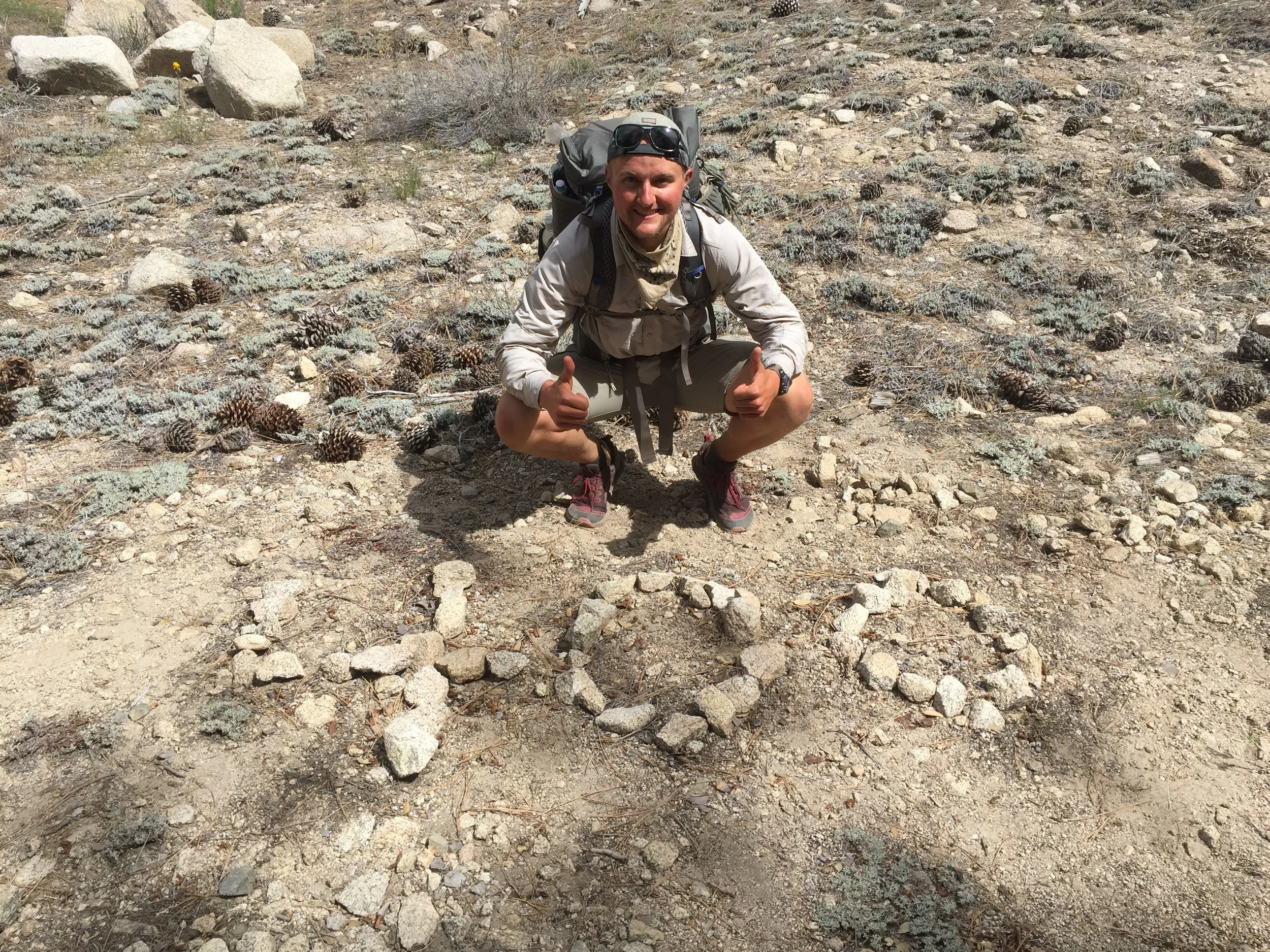
It almooooost looks like a heart ❤️

Yellow on yellow
Towards the end of the day I had my headphones in and was mechanically marching along. I was about 25 miles in to what I planned to be a 32 mile day, and it was head down, one foot in front of the other, as I listened to a TED talk. Then something (still not sure what...) made me look up.
On its face, the scene wasn't anything spectacular. An old burn area on the north side of the mountain. But once I took my headphones out and sat down on a log next to the trail, it became spectacular. I could hear the wind howling on the other side of the mountain, but here, it was beautifully calm. There were clouds directly overhead, but they gave way to a blue sky to the east. The soft green of the grass gave the mountainside a peaceful look. And from my perch I could see most of the terrain I had covered in the last twenty four hours. The chirping of the birds put the icing on the cake. If there was a camp spot nearby, I would have stayed the night there. Instead I took a half-hour impromptu break, and remembered why I was out here. For moments like these.

Gotta appreciate moments like these
Those last seven miles were slow. My feet weren't thrilled, but with a few stops, held up well. I wandered into the campground as the sun was setting, and pitched my tent among about eight others. My long day today set up a shorter 18 miles tomorrow, which will get me to Agua Dulce and my next resupply package. Not that I really need it - I still have like five pounds of food. Hopefully this hiker hunger kicks in soon...
Day 18: mile 436.1 - 454.5
- Trail Magic!
- Hiker Heaven
- Mudd reunion
- New faces: Goaltech and Tooth Fairy, Dart
First one out of the campground this morning. I guess hikers aren't morning people? Or evening people, since you won't find many of us awake after "hiker midnight", more commonly known as 9pm.

Yellows are prettier in the morning
When I stopped for my first snack, I realized the cool temperatures DO have some benefits. Before leaving, my aunt shared a healthy granola bar recipe with me, which I modified slightly (read: added chocolate chips to the ingredient list) and then made in several batches. Problem is, they are supposed to be refrigerated, and while they don't go bad in the heat, they don't hold their shape. So instead of granola bars, I just had granola for the first three hundred miles. But after cool nights, I have nice homemade granola bars as my first snack of the day. Alright!!
The theme of the morning was "down". The trail descended for eight miles from the pines of the mountains to the chaparral of the desert. Along the way I met Goaltech and Tooth Fairy - section hikers who are going south from Agua Dulce to Cajon Pass, and doling out trail magic to northbound through hikers. This trail magic came in the form of a handful of Nips hard candies. I hadn't heard of these before, but oh my god they were great. Three Nips kept my mouth entertained for the last three miles to Acton. I might have to make hard candies a staple going forward...

The mountains have trees, and the desert has rocks
After Acton it was ten more miles until Agua Dulce, my goal for the day. I wanted to get there as soon as possible, but my pants had other ideas. I was thinking that after 450 miles I would have shed some of that junk in my trunk, which would hopefully put less stress on the seams of my pants. For better or worse, that isn't happening, so every now and then I move in a certain way and riiiiiip, my seam tears a little more. Well, today it got to the point where I didn't have a seam anymore, so my lunch break consisted both of instant mashed potatoes, and another sewing session to keep my ass from hanging out.

Lunch, arts, and crafts
I finally rolled in to Agua Dulce, clothes in one piece again. I couldn't pass by the supermarket without going in, so made a quick stop and bought three oranges, none of which made it the 1.2 mile walk to Hiker Heaven, my final destination for the day.
Hiker Heaven is aptly named. It is run by two trail angels, and a ton of volunteers. They act as a post office, laundromat, campground, and hiker resort. I showed up and ran into Rabbit, Cashmere, and Burnside, all of whom I have hiked with in the last hundred miles. I also ran into Dart, a fellow HMC class of 2013 alum who is also hiking the PCT this year. It was great to see a pre-PCT face.

Hiker Heaven 😇😇😇
I'm posting up here tonight, maybe going back into town for dinner, or maybe having one of the way-too-many dehydrated dinners that I have while enjoying the company of others in/at Hiker Heaven.

C'mon kids, get a room...

Promotory Point, PCT style

How do you get to Canada? One step at a time. Or fly if you are smart...

Leftover food. I should eat more