
Day 84: mile 1716.2 - 1741.8
- The Oregon Trail
- From green to brown
I made sure to set an alarm this morning so that I would actually get up before my checkout time. As much as I like curling up in my sleeping bag and waking up with a cold nose, it sure is nice to bury yourself in the covers and pillows of a queen-sized bed. I guess everything in moderation?
After a continental breakfast, it was time to bust the sign and the thumb out and get back to the trailhead. Another hiker (Jugs) was already at the spot I was planning to hitch from, so I joined. With a trail name like that, a guy has some pretty high (if not hopeful) expectations. The men out there will be sorely disappointed to learn that Jugs is an older guy, with a dirty outfit and a crooked grin, who got his trail name from the gallon jug of water that he carries around. Oh well...
It took half an hour, but we finally got a ride with the pastor of a local church. Super nice guy who had hiked bits and pieces of the PCT before. He dropped us off at the trailhead about 9am, and then it was back to walking.
A lot of hikers say that southern Oregon is one of the more ordinary parts of the PCT. Today met those expectations. Moderate ups and downs, with the trail varying between shaded forest and exposed hillsides. Not the most spectacular, but it made for some easier miles.

Token Shasta view!
Breaking up the monotony was Pilot Rock, which is a big rock that was an important landmark for the folks traveling the Oregon Trail. I can't describe how much respect I have for those pioneers. I'm out here walking in my fancy pack, in padded shoes, with a water filter, packaged food, and the Internet. They walked in covered wagons, sometimes barefoot, hunted some of their food, and died if they didn't make it to their destination in time. The modern day PCT is like child's play compared to what they went through. I'll sleep on that tonight. Humbled, yet again...

The one decent picture I took of pilot rock. With guest appearance by my index finger 🙄

Sometimes the trail looks like this...

...and sometimes it looks like this
Day 85: mile 1741.8 - 1775.3
- Two outta three
- Lava fields
- Obstacle course
After surprising myself by instantly passing out last night, I was tossing and turning at 3:30. I figured if I couldn't sleep, I might as well get some hiking in while it was cool. So I was back on the trail well before sunup.
Morning haze
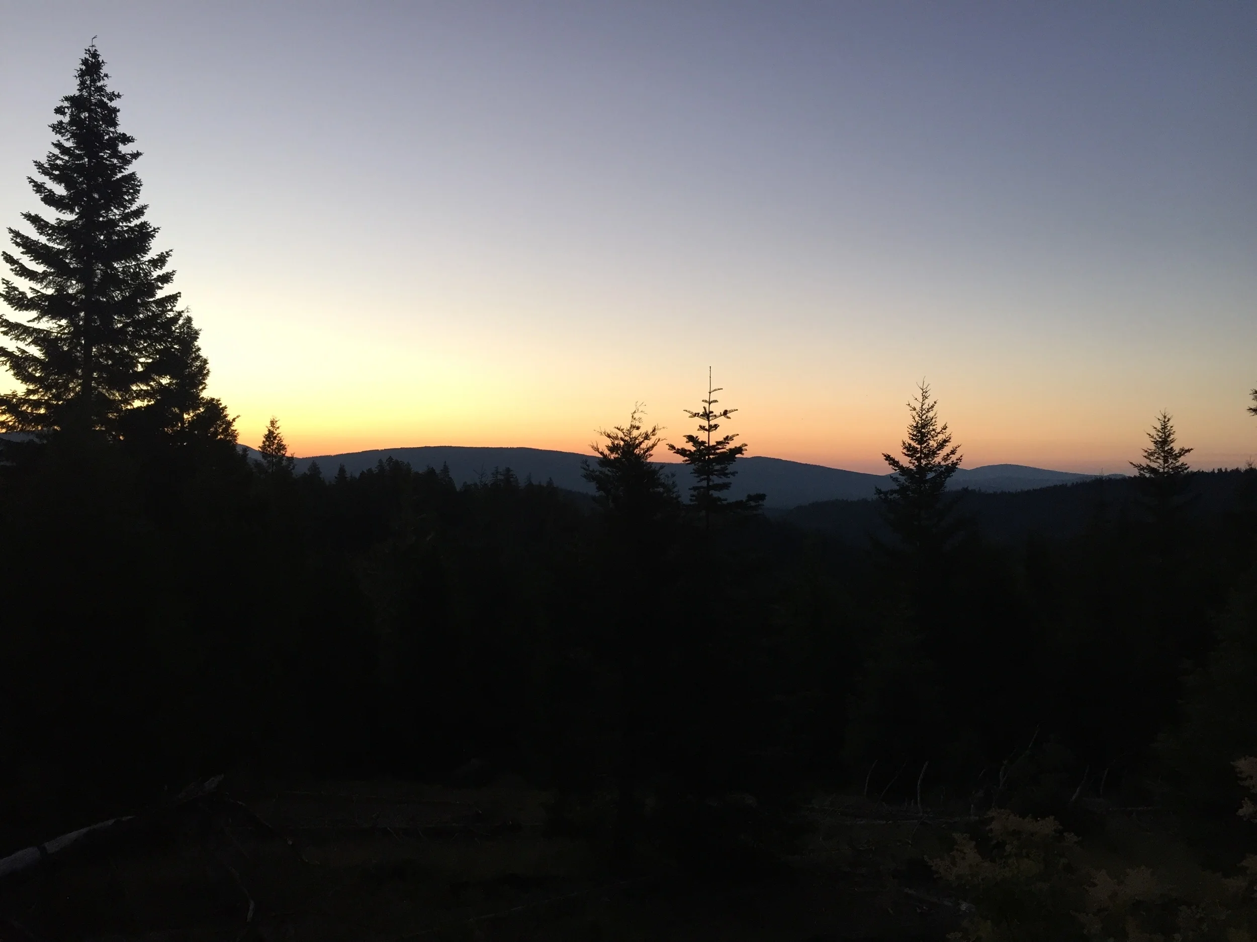
The morning was easy - not a whole lot of up and down, and mostly shaded. I must have seen ten deer, all either in the light of my headlamp, or just as dawn was breaking. And I got my token view of Shasta. This one may have been the last!
Early afternoon the trail hit mile 1766.6, which happens to mean we are two-thirds of the way to Canada! There is still a lot of ground to cover, but it's getting easier and easier to play the mind games that help keep me going.
The cool morning was replaced by a scorching afternoon, made all the more intense by the lava fields that we had to cross. Thankfully the trail was incredibly well-maintained, and traversing those expanses of black rock was no where near as bad as it could have been. It was still damn hot though.

Highway through the lava beds

I can't believe I'm saying this, but that snow on Mt. McLoughlin looks really good right now
Once we got out of the lava rock, that glorious trail maintenance that I was talking about quickly turned to shit. I had heard stories about this next little section being a nightmare, having "over two hundred downed trees". That seemed like a lot, so I decided to count for myself. Counting downed trees seemed more productive than singing 99 Bottles of Beer (which, for the record, I haven't actually done yet).
I counted 118 trees across the trail in just under four miles (then I stopped to make camp. I'm sure there will be more tomorrow). That's more in four miles than in the previous ~1770. While it definitely slowed the pace down, it was nice to do some climbing, and crawling, to get around some of those logs. Maybe I got to work a few muscles that have been long-neglected. The downside is that I am now a dusty, sappy (tree sap, that is) hiker. I must not smell though, because as I have been laying here writing this I have had two deer come within ten feet of my tent. Dinner, anyone?

Up, and down, and up, and down...
Day 86: mile 1775.3 - 1810.2
- Pacific Crest Obstacle Course
- Don't forget you are wearing a bug net...
- Smoke on the horizon
I slept like a rock last night. It was awesome. So awesome that I got up more than an hour after I usually do. I had ambitions of trying for another forty mile day, but my late start nixed those.
The elevation profile for the day was pretty moderate, but the downfall was far from over. I picked up counting fallen trees right where I left off, and by the end of the day my tally had grown to 632 trees in the last forty miles. Obstacle course, parkour, steeplechase - call it whatever you want, but it definitely made what would have otherwise been a very easy stretch of trail into a challenge.

Either the wind howls here, or these were some pretty wimpy trees...
Water is another challenge at the moment. This sixty-mile section has waterless stretches of 12, 14, and 20 miles. If you think this means there won't be many bugs (as I did), you would be painfully mistaken, as my bug bites can attest to.

Even with the lack of water, I found a patch to make a snow angel (don't judge me on the outcome)
I don't carry bug spray. That way I don't have to deal with layers of sweat, dirt, and DEET accumulating on my skin in the hundred miles between showers. My long sleeves and pants don't leave too much skin exposed, so between a head net and gloves I can cover all my skin (making quite the fashion statement).
A head net is nifty because it keeps bugs from coming through. That also means it keeps other things from going out. Like spit, and snot rockets. So you need to remember to pull your bug net up before spitting. Got it, Garrett? Good. Now let's not make that mistake again, because it isn't much fun to clean up...

Looking south. We finally can't see Shasta!
Despite the heat, the body felt good as the miles passed. Mid-afternoon I was met with the gut-wrenching site of smoke on the horizon. And not to the west or east. Due north. Exactly where the trail was going. Ugh, this could get ugly if it was before my next resupply point... My mind quickly started working through every scenario I could come up with, but when I got cell service I checked and the fire was just on the *other* side of my resupply point. So I'll worry about that tomorrow. Now, it's time for sleep.

I don't know what this face is... But we've come 1800 miles!
Day 87.5: mile 1810.2 - 1818.4
- Crater Lake National Park
- Mazama Village
It was another early morning, as I wanted to knock out the eight miles to my next resupply point. It is also a lot easier for me to get up early when I am camping with other people. Not sure why. Maybe I take pride in being an early bird?

National Park number five of the trip!
The miles were easy, and I was to Mazama Village before 8am (Mazama Village is in the Park, but still four-ish miles from the lake). On the way, I passed a few hikers who were heading the same direction, motivated by breakfast at a restaurant. Mmmm, that sounded good. Being a National Park, this restaurant was pretty fancy, and I felt underly dressed and overly dirty. But they gave me a seat in a corner anyway, and fed me a damn good (second) breakfast.
Then it was time to do errands. Laundry, shower, pick up my resupply package. There was no smoke this morning, so I was curious about the status of the fire. Once my chores were almost taken care of, we started seeing choppers carrying buckets of water to the fire. Then it got progressively smokier. Finally some hiker came by and said that the fire had closed a section of the PCT (not a big deal) and the Crater Lake Rim Trail (a huge deal, because everyone typically takes this as an eleven-mile alternate, which bypasses some of the PCT, and also skirts the rim of Crater Lake).
If both trails were closed, that meant having to hitch like a hundred miles ahead, and missing part of the trail. Not ideal. Someone went and spoke to a ranger, who told us that the PCT was in fact closed, but that the Rim Trail was open, though it might not remain so after tonight.
I guess I better stop farting around and start moving again!